
Counting Trees from Satellite Imagery with Noisy Supervision
Source: arXiv:2606.24786 · Published 2026-06-23 · By Dimitri Gominski, Maurice Mugabowindekwe, Qiue Xu, Xiaowei Tong, Martin Brandt, Hieu Le et al.
TL;DR
This paper addresses the challenging problem of counting individual trees from very high-resolution (VHR) satellite imagery, a task important for environmental monitoring but complicated by diverse canopy densities and noisy annotations. Due to limited manual labeling and ambiguous crown delineations in dense forests, the authors leverage noisy, large-scale airborne LiDAR-derived annotations as weak supervision. They reformulate tree counting as a spatial density matching problem using Unbalanced Optimal Transport (UOT), which gracefully handles both isolated and dense tree regimes by relaxing strict mass conservation constraints. A novel self-correction mechanism based on transport marginal residuals progressively refines the noisy weak supervision during training, enabling effective exploitation of heterogeneous annotation quality. Experiments on TINYTREES—a new 23,000 km2 multi-sensor, multi-continent dataset with over 215 million annotations—demonstrate that TREEMATCH outperforms detection, regression, and balanced OT baselines across diverse biomes and imaging conditions. Their approach is computationally efficient and generalizes reasonably across regions and sensors.
Key findings
- TREEMATCH reduces RMSE on tree count by 7.5-9 points compared to the next-best baseline DM-Count across datasets: 60.6 vs 65.0 on China, 72.4 vs 76.8 on Rwanda, 147.2 vs 158.0 on France (Table 3).
- Using unbalanced OT instead of balanced OT improves RMSE on Rwanda split from 78.3 to 72.4, demonstrating better tolerance to annotation noise (Table 5).
- Bootstrapping weak annotations with marginal residuals decreases RMSE from 79.0 to 72.4, showing the impact of the self-correction mechanism.
- Models trained with both strong and weak supervision outperform those trained with only strong or only weak labels; removing strong labels increases RMSE on Rwanda from 72.4 to 82.4 (Table 5).
- Detection-based models (YOLOv8, CenterNet) perform poorly on dense forest regions, often failing to converge or producing unstable results.
- TREEMATCH handles heterogeneous spatial regimes, producing density maps that accurately localize isolated trees and robustly estimate counts in dense canopies (Figure 4).
- Cross-region experiments show training on China is most generalizable, while Rwanda-trained models generalize poorly; joint training yields intermediate performance indicating feasibility of sensor-agnostic modeling (Table 4).
- Inference throughput is ~99M pixels/s (~887 km2/s at PlanetScope resolution) on a single 3090 GPU, enabling scalable deployment.
Threat model
n/a — The paper does not frame the problem in terms of security or adversarial threats but focuses on learning robust tree counts from inherently noisy, incomplete, and ambiguous annotations derived from remote sensing data.
Methodology — deep read
Threat Model & Assumptions: The adversary scenario is not explicitly a security threat but pertains to dealing with inherently noisy, incomplete, and ambiguous tree annotations derived from automated airborne LiDAR processing pipelines, combined with scarce, high-quality manual labels. The goal is to train a model despite annotation noise and spatial ambiguity. No explicit adversarial attacks or manipulation are discussed.
Data: The TINYTREES dataset includes satellite imagery patches (64x64 pixels, RGB+NIR) from three sensors covering temperate and tropical forests in China (Gaofen-2, 0.8m GSD), Rwanda (PlanetScope, 3.4-4.2m), and France (SPOT6, 1.5m). It contains over 215 million annotations, with 773K manually verified 'strong' labels and a much larger pool of 'weak' automatic labels derived from canopy height models or crown detection from ALS and aerial data. Datasets are split spatially with a 1km buffer to prevent leakage.
Architecture/Algorithm: The core model is a UNet with a ResNet50 encoder predicting a continuous per-pixel tree density map z (nonnegative, unnormalized). The key novelty is the use of Unbalanced Optimal Transport (UOT) as a loss to align predicted density with annotated density y, using a squared Euclidean cost matrix on pixel locations. This relaxes the constraint that the total predicted and annotated mass (tree counts) must be equal, enabling tolerance to missing or spurious annotations. The model is supervised with a combination of:
- A global count loss encouraging the sum of predicted density to match total annotated count.
- An unbalanced OT loss performing spatial distribution alignment that softly matches predicted and annotated trees accounting for spatial ambiguity.
- A bootstrapping correction mechanism that computes marginal residuals from the UOT transport plan to correct weak noisy annotations progressively during training, weighted by a schedule λ(t) increasing from 0 to 0.8.
Training Regime: Training uses AdamW optimizer, learning rate 8e-5 with cosine annealing, for 500 epochs. Strong and weak samples are drawn in balanced 1:1 ratio each batch. UOT hyperparameters are ε=0.005 (entropic regularization) and τ=0.1-0.5 (mass deviation penalty). Counting loss and UOT loss are combined for strong labels; weak labels first corrected by marginal residuals then supervised by UOT loss.
Evaluation Protocol: Metrics include root mean squared error (RMSE) in trees per hectare, normalized mean absolute error (nMAE), and R^2 computed at the image patch level. Baselines span count/density regression, detection methods (YOLOv8, CenterNet, P2P, TreeFormer), Bayesian methods, and distribution matching (DM-Count). Evaluations are performed on held-out test splits with manual annotations, avoiding spatial leakage. Cross-region generalization and ablations validate components.
Reproducibility: The authors provide code, data, and trained models publicly at the GitHub repository https://github.com/dgominski/treematch. The TINYTREES dataset includes over 215 million annotations with strong and weak label splits. Implementation details for hyperparameters, architectures, and training schedules are fully detailed.
One end-to-end example: Given a VHR satellite 64x64 patch and weak annotations derived from ALS canopy height models, the model predicts a density map trained to minimize count difference plus unbalanced OT loss to align distributions spatially while marginal residuals computed from the transport plan progressively correct noisy labels. This leads to accurate spatial density maps that localize isolated trees and robustly estimate counts in dense regions, adapting to annotation noise and spatial ambiguity.
Technical innovations
- Formulating tree counting from satellite imagery as unbalanced optimal transport (UOT) to spatially align predicted and noisy annotated density maps under heterogeneous mass constraints.
- Introducing a self-correction mechanism using marginal residuals from the UOT transport plan to iteratively refine noisy weak supervision during training.
- Combining scalable, noisy LiDAR-derived weak labels with scarce but accurate manual strong labels in a unified training objective leveraging UOT and count consistency losses.
- Construction of TINYTREES, a large-scale, multi-continental satellite benchmark with 215 million annotations spanning various biomes and sensors.
Datasets
- TINYTREES — >215 million tree annotations (773K manual verified) — Satellite imagery from China (Gaofen-2, 0.8m), Rwanda (PlanetScope, 3.4-4.2m), France (SPOT6, 1.5m)
- Manual strong labels — 773K annotations — Photointerpretation and field surveys
- Weak labels — >215 million annotations — Derived automatically from airborne LiDAR and canopy height models
Baselines vs proposed
- Density Regression: RMSE = 64.6 (China), 79.3 (Rwanda), 163.4 (France) vs TREEMATCH: 60.6, 72.4, 147.2
- Count Regression: RMSE = 67.9, 75.8, 149.2 vs TREEMATCH: 60.6, 72.4, 147.2
- CenterNet (Detection): RMSE = 82.9, 98.9, 181.5 vs TREEMATCH: 60.6, 72.4, 147.2
- DM-Count (Balanced OT): RMSE = 65.0, 76.8, 158.0 vs TREEMATCH (Unbalanced OT): 60.6, 72.4, 147.2
- Bayesian crowd counting baseline: RMSE = 168.8, 80.5, 162.0 vs TREEMATCH: 60.6, 72.4, 147.2
- Removing residual correction: RMSE increases from 72.4 to 79.0 on Rwanda split
Figures from the paper
Figures are reproduced from the source paper for academic discussion. Original copyright: the paper authors. See arXiv:2606.24786.
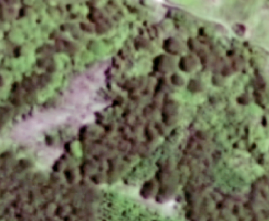
Fig 1: Counting Trees From Space. We introduce TREEMATCH, a model to estimate the
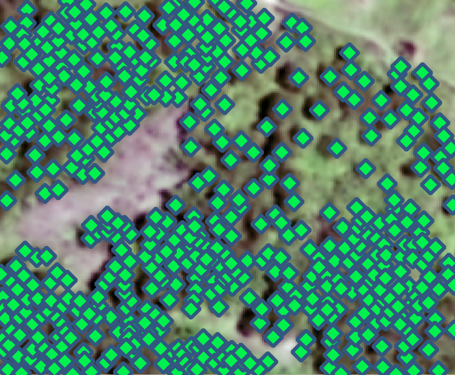
Fig 2: TREEMATCH. Given a VHR satellite image, the network ϕ predicts a continuous tree
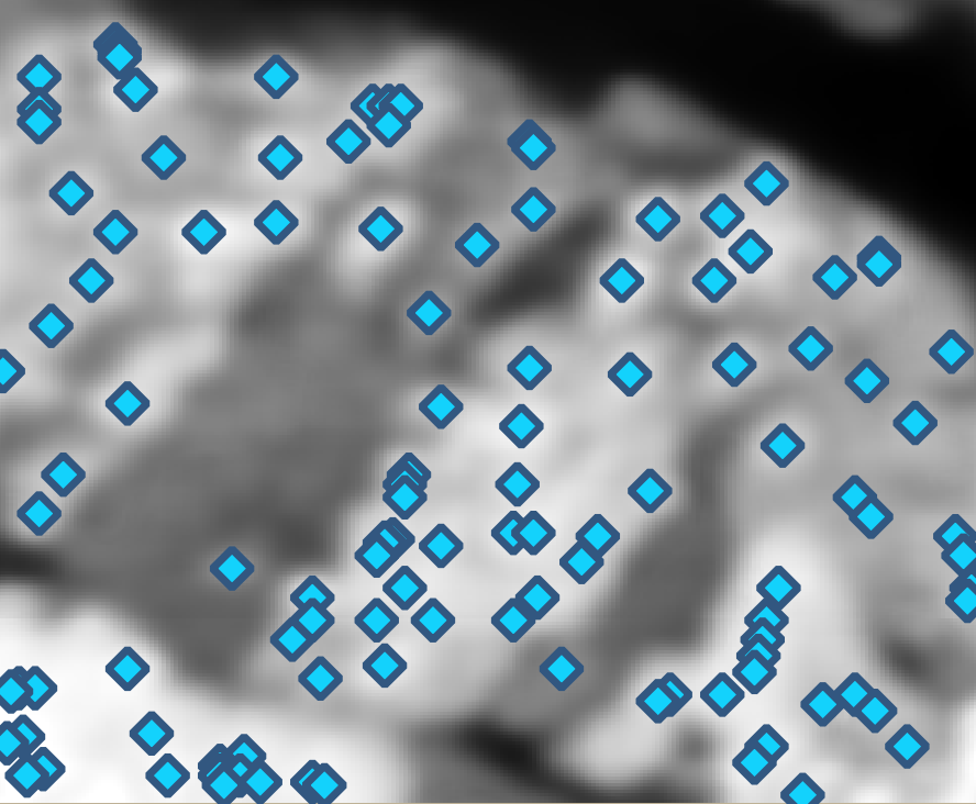
Fig 3 (page 2).
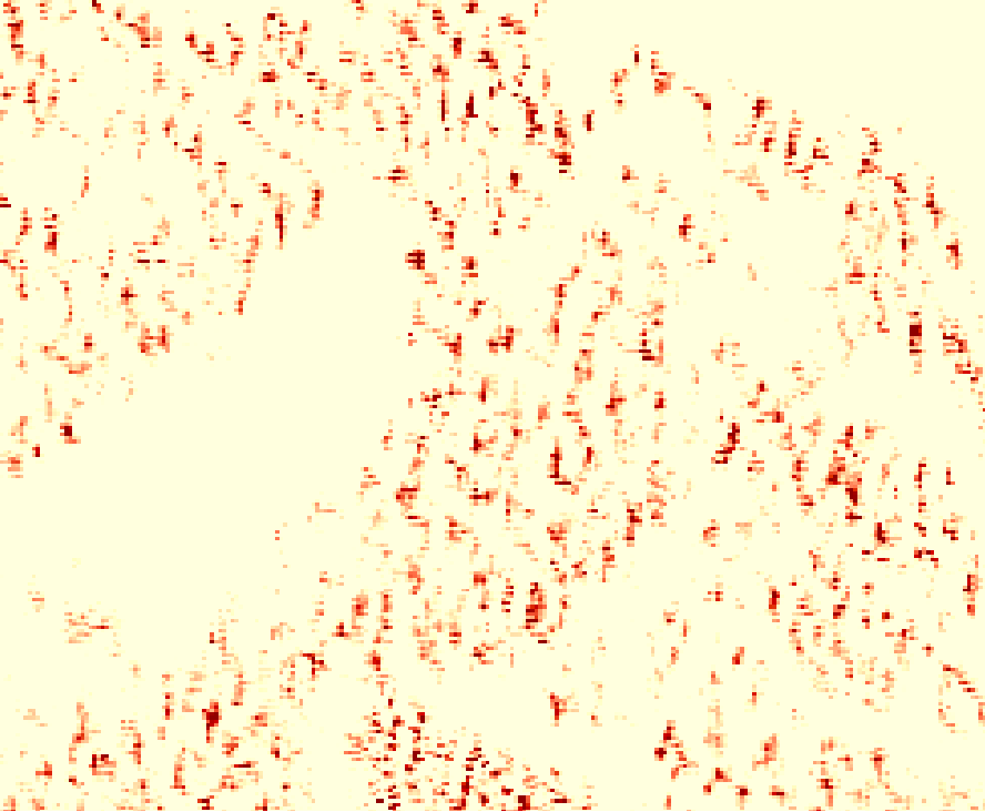
Fig 4 (page 2).
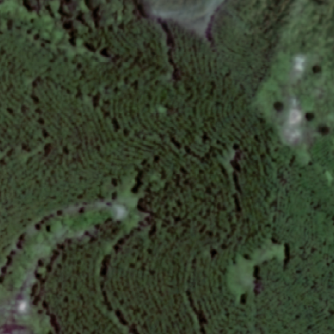
Fig 3: Marginal Residuals. A satellite image (a) is annotated with weak labels (b) and processed
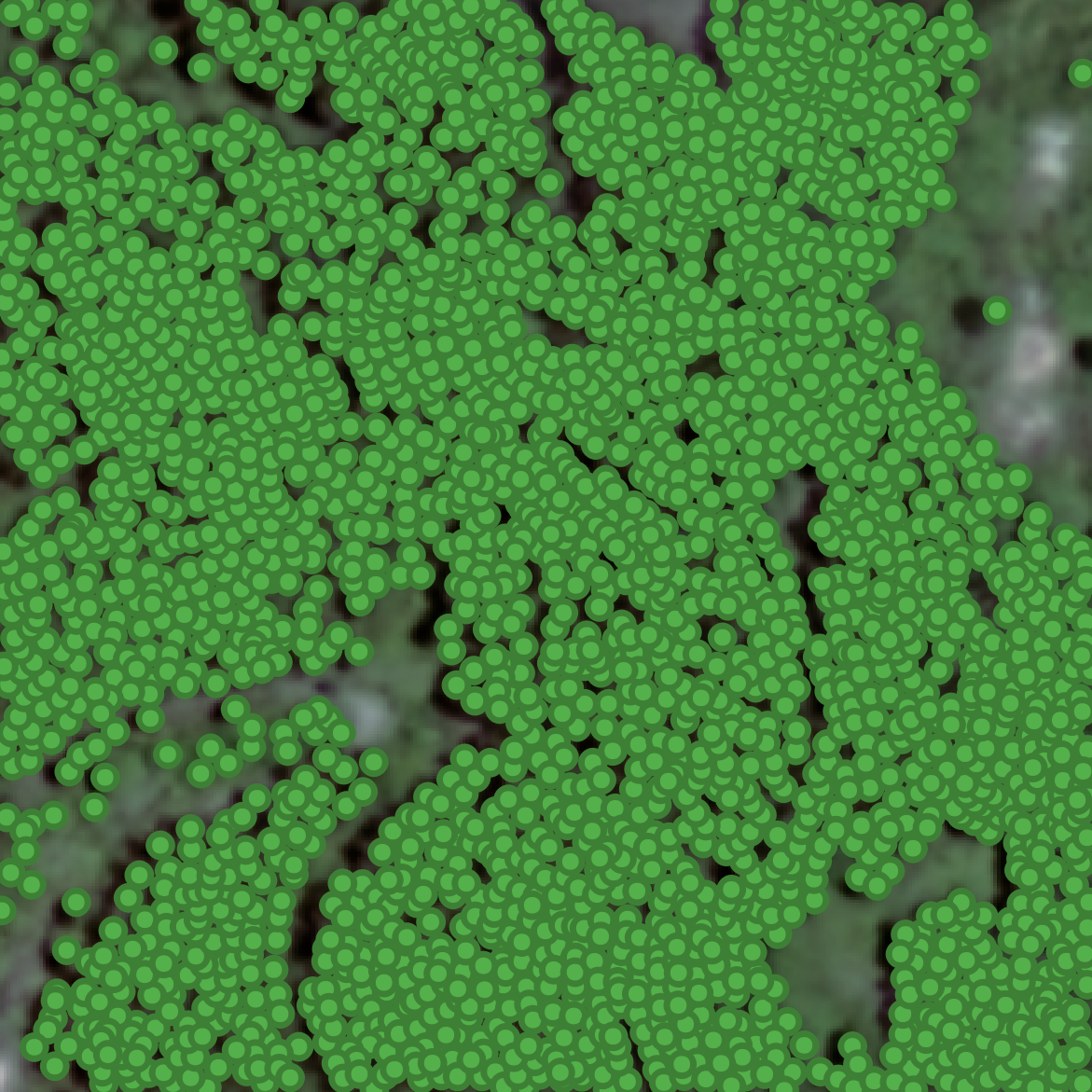
Fig 6 (page 4).
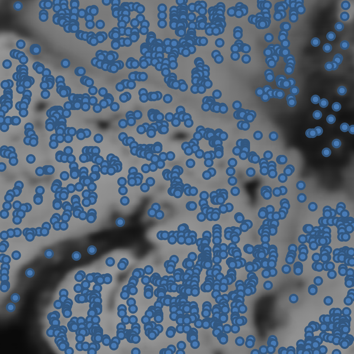
Fig 7 (page 4).
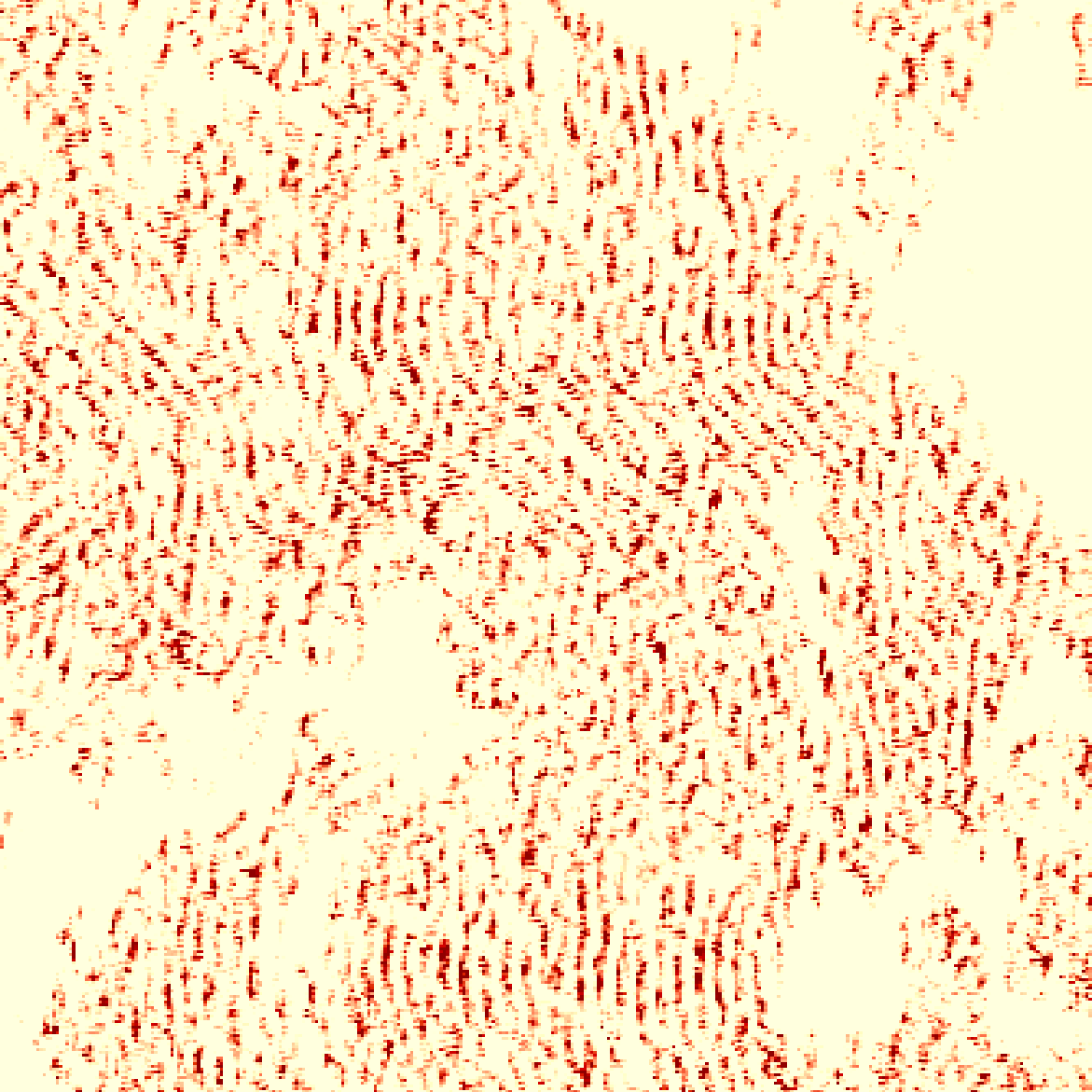
Fig 8 (page 4).
Limitations
- The quadratic memory complexity of optimal transport limits the method to relatively small image patches (64x64); scaling to larger scenes is challenging.
- The approach relies on the availability of approximate weak annotations from airborne LiDAR which may not exist everywhere or have consistent quality.
- Generalization across different sensors and biomes remains imperfect; models trained on tropical Rwanda generalize poorly to temperate forests.
- The model does not produce explicit tree delineations, only density maps, limiting instance-level analysis beyond count estimation.
- Evaluation metrics indicate moderate accuracy (max R2 ~0.60), so significant errors remain for complex dense forests.
- No adversarial robustness or explicit analysis under severe annotation corruption was performed.
Open questions / follow-ons
- Can unbalanced optimal transport formulations be scaled efficiently to larger spatial contexts beyond small patches?
- How could joint modeling of tree counting and canopy height or biomass improve ecological monitoring?
- Can sensor-agnostic architectures and domain adaptation techniques improve cross-region and cross-sensor generalization?
- What are the limits of self-correction mechanisms when weak labels exhibit systematic biases or severe gaps?
Why it matters for bot defense
For bot-defense or CAPTCHA practitioners, this work demonstrates an advanced technique for learning from noisy, heterogeneous supervision with spatial ambiguity, applicable in contexts where large-scale manual annotation is infeasible. The formulation of counting as a spatial density matching problem using unbalanced optimal transport offers a robust, geometry-aware loss that tolerates annotation noise and partial labeling—common challenges in real-world security datasets involving pattern detection under uncertainty. The self-correction method based on transport residuals points to a general approach for iterative label refinement that could be adapted to noisy behavioral labels or adversarial detection signals. However, practical use would require addressing the computational cost of OT and adapting the method to the temporal or higher-dimensional nature of behavioral data. Overall, the paper highlights the value of uncertainty-aware, distributional loss formulations and label correction for enhancing model robustness where clean fine-grained ground truth is unavailable.
Cite
@article{arxiv2606_24786,
  title={ Counting Trees from Satellite Imagery with Noisy Supervision },
  author={ Dimitri Gominski and Maurice Mugabowindekwe and Qiue Xu and Xiaowei Tong and Martin Brandt and Hieu Le and Rasmus Fensholt and Dimitris Samaras and Loic Landrieu },
  journal={arXiv preprint arXiv:2606.24786},
  year={ 2026 },
  url={https://arxiv.org/abs/2606.24786}
}